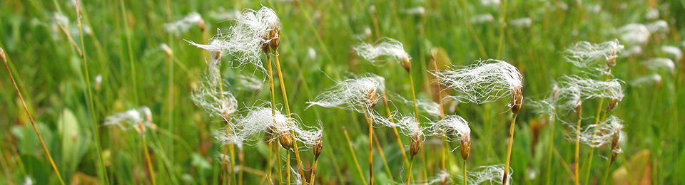


About AC CDC Data
The Atlantic Canada Conservation Data Centre (AC CDC) maintains linked databases that document what species occur in each Atlantic Canadian province, and the locations at which provincially-rare species are known. Species’ conservation status is assessed in collaboration with other experts and is summarized in a sub-national status rank (S-rank) for each species in each province. AC CDC maintains S-ranks for all terrestrial vertebrates, vascular plants, bryophytes (mosses and related plants), macrolichens and for many invertebrate groups. As of November 2019 our database has provincial ranks for over 12,000 species and subspecific taxa. Species’ provincial S-ranks are available here.
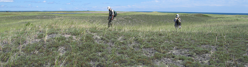
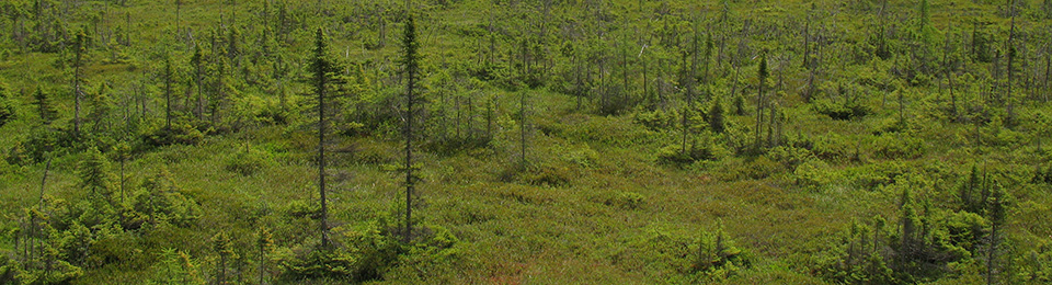
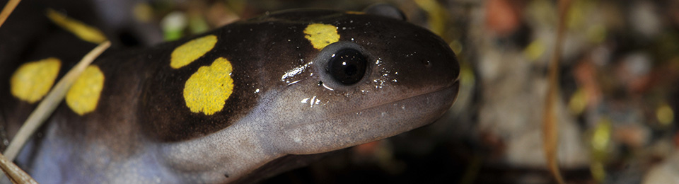
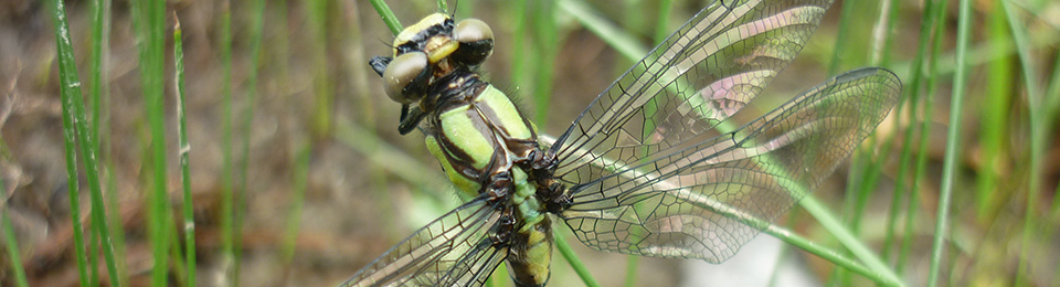
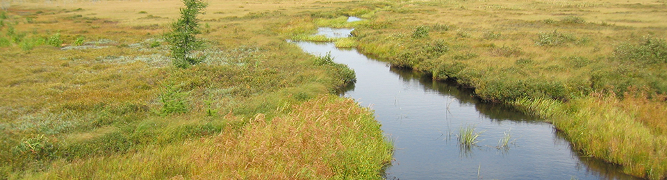
AC CDC maintains location data for species of conservation concern (S-ranks between S1 and S3S4, in addition to species considered extirpated [SX] and historic [SH]) in a Geographic Information System (GIS) database. The 1.57 million records in our terrestrial species occurrence database include 353,000 provincially rare records compiled from hundreds of sources. Species’ occurrence records include both recent and highly precise data collected through annual AC CDC fieldwork, and information up to 150+ years old for which locations may not be known precisely. The AC CDC database of species occurrences is the only relatively comprehensive information source on where species of conservation concern are known on the landscape. Consultation with the AC CDC database is a required step in provincial and federal Environmental Impact Assessments, and our data is used hundreds of times annually in relation to development proposals, delineation of new protected areas, other government and NGO land use planning and academic research. The quality and comprehensiveness of our data improves significantly each year through new field surveys by staff and incorporation of new datasets from outside the organization.
See Fees and Usage and our Data Dictionary for more information about using out data.
About the Data Request Process - Maritimes
Data Requests
Data from the Maritimes biodiversity database can be obtained by making a 'data request'. The nature of the data we are able to provide is governed by mandates from the Department of Natural Resources in New Brunswick, Nova Scotia and Prince Edward Island (hyperlink to "location sensitive" species section below). These mandates change periodically so check this page frequently, or contact the Data Analysts for the most up-to-date information.
Location Sensitive Species
As of May, 2014, the AC CDC has been mandated by the Department of Natural Resources in Nova Scotia and New Brunswick to consider records of certain species as "location-sensitive". In an attempt to reduce the risk that these species will be exploited, precise locations of these are only distributed to authorized individuals or organizations, and those requesting data are referred to DNR regional biologists for further information.
New Brunswick
| Scientific Name | Common Name | Species at Risk Act | Provincial Legal Protection |
|---|---|---|---|
| Chrysemys picta picta | Eastern Painted Turtle | Special Concern | |
| Chelydra serpentina | Snapping Turtle | Special Concern | Special Concern |
| Glyptemys insculpta | Wood Turtle | Threatened | Threatened |
| Haliaeetus leucocephalus | Bald Eagle | Endangered | |
| Cicindela marginipennis | Cobblestone Tiger Beetle | Endangered | Endangered |
| Coenonympha nipisiquit | Maritime Ringlet | Endangered | Endangered |
| Falco peregrinus pop. 1 | Peregrine Falcon - anatum/tundrius pop. | Endangered | |
| Bat Hibernaculum or bat species occurence | Endangered* | Endangered* |
*Myotis lucifugus (Little Brown Myotis), Myotis septentrionalis (Long-eared Myotis), and Perimyotis subflavus (Tri-colored Bat or Eastern Pipistrelle) are all Endangered under the Federal Species at Risk Act and the NB Species at Risk Act.
Nova Scotia
| Scientific Name | Common Name | Species at Risk Act | Provincial Legal Protection |
|---|---|---|---|
| Glyptemys insculpta | Wood Turtle | Threatened | Threatened |
| Emydoidea blandingii | Blanding's Turtle - Nova Scotia pop. | Endangered | Endangered |
| Fraxinus nigra | Black Ash | Threatened | |
| Bat Hibernaculum or bat species occurence | Endangered* | Endangered* | |
| Falco peregrinus pop. 1 | Peregrine Falcon - anatum/tundrius pop. | Vulnerable |
*Myotis lucifugus (Little Brown Myotis), Myotis septentrionalis (Long-eared Myotis), and Perimyotis subflavus (Tri-colored Bat or Eastern Pipistrelle) are all Endangered under the Federal Species at Risk Act and the NS Endangered Species Act.
Types of Data Requests
Standard Requests - $150.00
The majority of the requests we receive are for records of species of conservation concern and significant or managed areas in the vicinity of project sites.
Data queried
- AC CDC biodiversity database - Non-location-sensitive rare and protected terrestrial species −terrestrial vertebrates, invertebrates, vascular plants and nonvascular plants with the following ranks:
• S-RANK: SX, SH, S1*, S2*, S3*
• COSEWIC: Endangered. Threatened, Special Concern
• Provincially Listed: Endangered, Threatened, Special Concern, Vulnerable - Third-party wildlife databases (Freshwater Fish, Pelagic Birds)
- Managed and Significant Areas database - Ecologically significant areas that may or may not have legal protection (e.g., NS DNR Significant Habitats and Species Database, Bird Studies Canada and Nature Canada Important Bird Areas, Department of Fisheries and Oceans Marine Protected Areas)
- Additional databases can be queried upon request (Breeding Birds, Marine Mammals, Saltwater Fish)
*See Conservation Ranks for more information
See Location Sensitive Species
Deliverables
- Detailed observation data for all species of conservation concern, Significant Areas and Managed Areas known within a 5 km radius of the area of interest
• includes precise coordinates and feature locations (Excel Spreadsheets, ESRI Shapefiles) - A list of all species of conservation concern known within a 100 km radius of the area of interest
• includes distance to the nearest observation of each taxa (Excel Spreadsheet) - A comprehensive Data Report providing:
• summaries and maps of query results
• a list of "location-sensitive" species of conservation concern known within 5 km of the area of interest
• a list of data sources
• a data use agreement
• contact information for data specialists
Custom Requests
When the geographic area queried exceeds that of a standard data request, or, the request requires a significant amount of data processing or analysis it is considered a custom request.
- Custom requests include:
- Queries within geographic areas greater than the equivalent of a 5 km radius circle (approximately 78.5 km2)
- Queries within areas of interest defined by geospatial layers (e.g., near lines or within polygons)
- Delivery of custom output products
Custom data requests are priced individually with costs primarily related to the geographic area being queried and the complexity of the request. Fees for custom data requests are quoted before processing.
AC CDC Data Request Service Standards
Standard and Custom Data Request responses are typically returned within 7 days, to a maximum of 14 days during peak times of the season.
The AC CDC also offers an "ASAP" service at a 50% premium surcharge. When staff is available, ASAP Data Request responses can generally be returned within 1-2 days. See Fees for more information