Frequently Asked Questions (FAQs)
AC CDC Services
What services does the AC CDC provide?
What kinds of projects and research is the AC CDC involved in?
What is an AC CDC Subscription and what are the benefits?
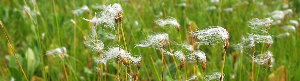
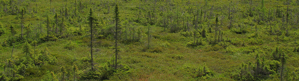
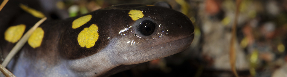
Species at Risk
Which species are legally-protected or rare in my province?
What are ‘Location-Sensitive’ species?
How can I submit observations of rare species or communities?
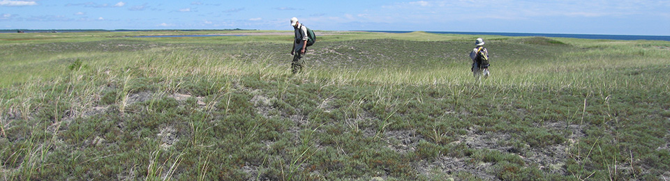
Data Requests
How do I make a Data Request?
How do I obtain or confirm that coordinates are correct for my study site?
How quickly will my Data Request be fulfilled?
Interpreting AC CDC Data
Where can I find a Data Dictionary to describe the attributes in the data I receive?
What is the difference between an Observation and an Element Occurrence?
What is the difference between Managed Areas and Significant Areas?
How can I report data discrepancies?
Data Usage and Fees
Are there any restrictions on use of the data that I receive?
Why is there a charge for Data Requests?
Are there discounts available for nonprofit organizations?
Sources and Citations
How should I cite data obtained from the CDC database or website?
AC CDC Updates
How can I keep up to date with changes to AC CDC processes?
What services does the AC CDC provide?
(To the top)The AC CDC provides the following services:
- Data provision from our comprehensive Maritimes biodiversity database
- Biological Fieldwork
- Biological Consulting
- Geospatial analysis and data management
For details of our key services please see Our Services page.
What kinds of projects and research is the AC CDC involved in?
(To the top)Public reports documenting some of our research and findings are availble on our Publications page.
What is an AC CDC Subscription and what are the benefits?
(To the top)For an annual fee, member organizations receive access to subsets of our database, a discount on biological field work carried out by AC CDC staff among other benefits. For more information contact the Executive Director.
Which species are legally-protected or rare in my province?
(To the top)Lists of rare and provincially-protected species can be viewed at our Ranks page. Please consult the COSEWIC (Committee on the Status of Endangered Wildlife in Canada) and SARA (Federal Species At Risk Act) sites for current lists of federally-listed species.
What are ‘Location-Sensitive’ species?
(To the top)As of May 2014, the AC CDC has been mandated by the Department of Natural Resources in Nova Scotia and New Brunswick to consider records of certain species as "location-sensitive". In an attempt to reduce the risk that these species will be exploited, precise locations of these are only distributed to authorized individuals or organizations, and those requesting data are referred to DNR regional biologists for further information. Please see About Our Data for more information.
How can I submit observations of rare species or communities?
(To the top)The AC CDC welcomes all data contributions. Please see Contributing Data for more information.
How do I make a data request?
(To the top)Data Requests can be made by email, phone or using our web form.
How do I obtain or confirm that coordinates are correct for my study site?
(To the top)Obtaining coordinates for your area of interest
If you do not have GIS available for determining the coordinates of your area of interest, some suggestions are provided below:
Google Maps
- Search for/Navigate to your location and zoom in as much as possible
- right click on your location, choose Drop LatLng Marker and copy these coordinates
Google Earth
- Search for/Navigate to your location and zoom in as much as possible
- Click the Add Placemark button and click and drag the map until the Placemark is correctly located
- Copy the coordinates from the New Placemark window
- In the New Placemark window View tab set the Range to 1000
- Click ok
- Save your map as an image under File, Save, Save Image…
The Atlas of Canada Toporama Web Application (http://atlas.gc.ca/toporama/en/index.html)
- Search for/Navigate to your location and zoom in as much as possible
- Click on the identify tool at the top of the application window (icon with lowercase ‘i’)
- Choose Click on Map, click on your location and copy these coordinates
Verifying that your coordinates match your location
To verify that your coordinates match your area of interest there are several ways you can plot them on a map. One way is to use our handy coordinate verification map on our data request form. If you need additional help try the following:
Google Maps (Geographic coordinates only)
Copy your coordinates, in the format specified in Google Maps Search Term column, into the Google Maps search bar:
| Format | Latitude | Longitude | Considerations | Google Maps Search Term |
|---|---|---|---|---|
| Decimal Degrees | 45.123456° N | 65.123456° W | Minimum 5 decimal places | 45.123456, -64.823456 |
| Degrees Decimal Minutes | 45°7.4074’ N | 64°49.4074’ W | Minumum 4 decimal places | 45 7.4074, -64 49.4074 |
| Degrees Minutes Seconds | 45°7'24.441"N | 64°49'24.442"W | Minumum 3 decimal places | 45 7 24.441, -64 49 24.442 |
Google Earth (Geographic or Projected Coordinates)
For Geographic Coordinates:
- Under Tools, Options… set the Show Lat/Long setting to Decimal Degrees, Degrees, Minutes, Seconds or Degrees, Decimal Minutes, and press ok
- Click the Add Placemark button and enter the latitude and longitude from one of the ‘Google Maps Search Term’ formats above (no special characters required other than a ‘-‘ for longitude)
- Click ok
For UTM coordinates:
- Under Tools, Options… set the Show Lat/Long setting to Universal Transverse Mercator, and click ok
- Click the Add Placemark button and enter the Easting (6 digits) and Northing (7 digits) and the Zone (19 T, 20 T, or 21 T)
- Click ok
How quickly will my Data Request be fulfilled?
(To the top)Our service standard for Data Requests is 7-14 days. If staff is available, ASAP requests can typically be returned with 1-2 days (for a 50% surcharge).
Where can I find a Data Dictionary to describe the attributes in the data I receive?
(To the top)The AC CDC Data Dictionary can be downloaded here. For additional questions please contact the Data Analyst in your region of interest.
What is the difference between an Observation and an Element Occurrence?
(To the top)The AC CDC database consists of precise point locations of species observations which are delivered with data requests. The AC CDC considers Element Occurrences to be geographic concentrations of observations, generally at scales of 1 km or greater, and represented as polygons. These Element Occurrence polygons are not delivered with data requests.
What is the difference between Managed Areas and Significant Areas?
(To the top)Managed Areas are a variety of official sites which have some level of legal protection for wildlife within their boundaries. Significant Areas are ecologically-significant areas that may or may not have legal protection. Please click here for more information.
What are Expert Maps (X-Maps) and can these be delivered with Data Requests?
(To the top)X-maps were a geospatial product that consisted of species distributions refined by expert opinion. These are no longer maintained and cannot be delivered with Data Requests.
How can I report data discrepancies?
(To the top)Data is continually error checked and improved using quality assurance and quality control procedures. Please report any observed data discrepancies to the Data Analysts.
Are there any restrictions on use of the data that I receive?
(To the top)Please see the Fees and Usage page for information on restrictions associated with the use of AC CDC data.
Why is there a charge for Data Requests?
(To the top)Unlike other Data Centres across Canada, the AC CDC is a nonprofit organization. Fees charged help cover staff time, equipment, and facilities required to complete data requests. Please see our Fees page for more information.
Are there discounts available for nonprofit organizations?
(To the top)Non-profit organizations, scientists, academics, educators, and students are encouraged to contribute the standard fees for Data Requests, although they may be provided with data even if they are unable to cover costs. Please see our Fees page for more information.
How should I cite data obtained from the CDC database or website?
(To the top)Citing the database: AC CDC Biodiversity Database. Version: _. Atlantic Canada Conservation Data Centre, Sackville, New Brunswick. Month Year.
Citing a data request Atlantic Canada Conservation Data Centre. 2015. Data Report: 5991: Sandy Cove, NS. Retrieved: Month Day Year.
Citing other information/data received from CDC (e.g,. list of species with ranks):
Atlantic Canada Conservation Data Centre. 2015. Title of dataset or data received. Retrieved: Month Day Year.
How can I keep up to date with changes to AC CDC processes?
(To the top)The AC CDC reports all updates and changes related to Data Sensitivity and the Data Request process on the Data Requests page. For additional questions please contact the Data Analysts.