

Our Services
With expertise in botany, zoology, landscape ecology and GIS, AC CDC staff specialize in providing a wide range of biological services to inform conservation planning and environmental decision making. We offer subscriptions to organizations that regularly use our services. Subscribing organizations receive access to subsets of our database and a discount on biological field work for an annual fee.
Services provided by the AC CDC include:
Data provision from our comprehensive biodiversity database
Biological fieldwork and consulting
Geospatial analysis and data management
Details of our key services are described below. If you have specific project needs or wish to purchase an AC CDC subscription please contact the Executive Director for more information.
Data provision from our comprehensive biodiversity database
The AC CDC's biodiversity database is the single most comprehensive and current source of information about Atlantic Canada's biodiversity. Our database includes more than 2.8 million geo-located species and ecological community occurrence records in the Maritimes (New Brunswick, Nova Scotia and Prince Edward Island), of which more than 501,000 are of conservation concern. In Newfoundland and Labrador, our database contains over 314,000 geolocated species occurrence records, of which almost 65,000 are of conservation concern . Our data is widely consulted by federal and provincial government departments, NGOs, industry, researchers, students, and many other organizations throughout Atlantic Canada. Data from our biodiversity database can be obtained by making a ‘data request’. We provide both standard and custom data requests.
A standard data request includes:
- Detailed observation data for all species of conservation concern known within 5 km of your point or area of interest (excepting a very few location-sensitive species for which location data could lead to illegal exploitation)
- A list of location sensitive species of conservation concern known within 5 km of your area of interest
- A list of all species of conservation concern known within 100 km of your area of interest
- Information on protected and other managed natural areas within 5 km of your area of interest
- Information on freshwater and marine fish, waterfowl, pelagic and colonial birds and marine mammals from databases separate from the main AC CDC database
A customized search of our database can also be completed upon request. Please see our Data Request page for more information about submitting a data request or contact our Data Manager for more details about submitting a custom request.
Biological fieldwork and consulting
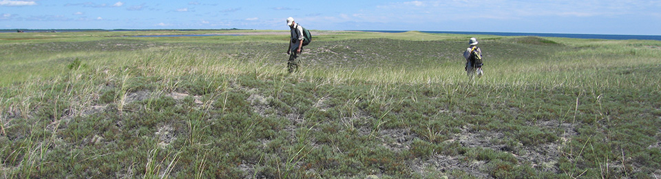
AC CDC biologists are qualified to provide a variety of biological inventory and consulting services for conservation groups, municipalities, provincial and federal agencies and industrial clients. In addition to field techniques, our group has a strong background in data analyses, interpretation and report production.
Fieldwork services we offer include (but are not limited to):
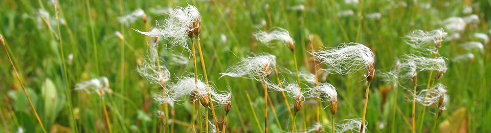
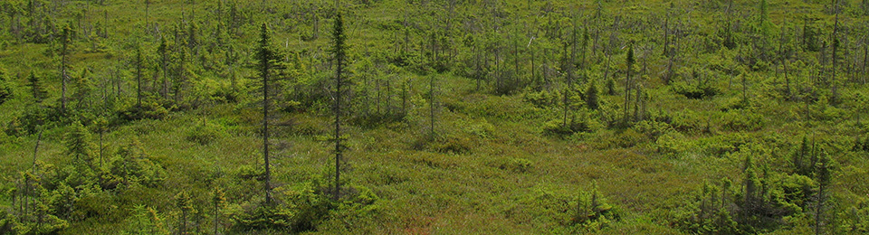
- Vegetation surveys including rare plant and community inventories and assessment
- Avian inventories including breeding bird surveys, nest searches and assessment for species of conservation concern
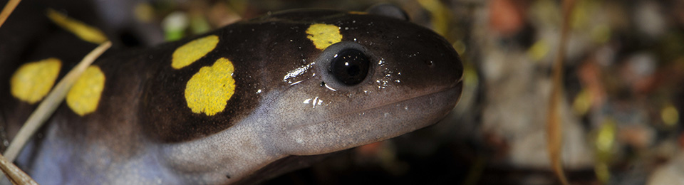
- Amphibian and reptile habitat and species assessment
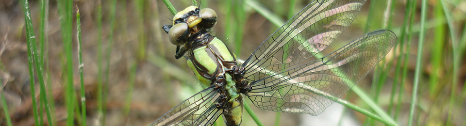
- Insect surveys
- Lichen surveys
- Species at risk studies and assessment
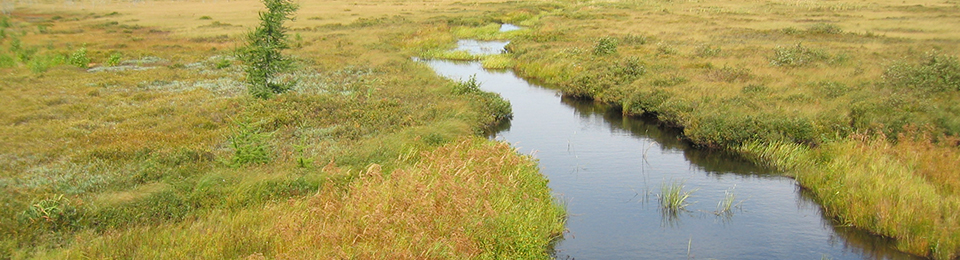
- Wetland classification and evaluation
Our biological expertise can also be applied to a variety of biological consulting services such as:
- GIS services including mapping biologically sensitive areas and habitat modeling for species of conservation concern
- Design and implementation of biological monitoring programs
- Monitoring of environmentally sensitive areas
If you have any questions or require further information about the biological fieldwork or consulting services outlined above, please contact us.
Geospatial analysis and data management
We provide data management, mapping and geospatial analysis services including geoprocessing, spatial modeling and the development of models, scripts and tools for automation of complex workflows. Recent applications:
- ArcGIS Rare Species Mapping Tools for New Brunswick
- Development of a tool to identify key areas of the landscape for Species at Risk (ArcGIS, Python)
- Google Earth Species at Risk Mapping Tool
- Development of a Google Earth tool portraying Species at Risk on Federal properties (Google Earth, ArcGIS, Python)
- Geospatial data management to facilitate mapping of key marine sites for North American Sea Ducks (ArcGIS, ArcGIS Online)
- Species at Risk Evaluations on National Research Council Canada and Department of National defense properties (Google Earth, ArcGIS)
- Automation of complex data management processes for quality control, data import and export (VB, Python, ArcGIS ModelBuilder)
- Data modelling and reverse-engineering of Microsoft Access and FileMaker databases to enable streamlining, database re-modelling and reconstruction
- Geospatial data summaries
- Design of biological monitoring programs